East Coast launch ramps ?
Posted: Thu Dec 22, 2011 11:12 am
I am new to the East Coast, and although I have located some launch ramps, I'd like to know if anyone has come upon a great reference for ramps starting in the DelMarVA region particularly, but we plan on being on the road as much as we can this upcomming season, so why not plan ahead. We have done some sailing on the Susquahanna River, but it is shallow. I have been at the ramp on the Delaware River, under the Commodore Perry Bridge, but even though it is beautiful, the area it's in makes me leery, as far as security in Chester, PA. It is the closest from us though for a large body of water. We are located very close to Hershey PA now.
We have only started this process by locating ramps and Kayaking them for accessability etc., so far, but I have upgraded this Mac so much I need to get out!
If someone can reccomend a Smart Phone and application for ramps that would be great as well, as we will be upgrading very soon.
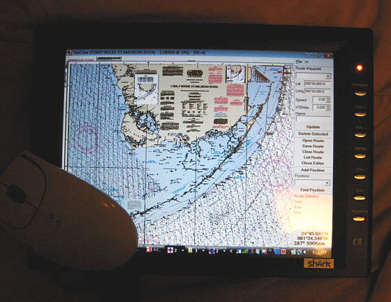
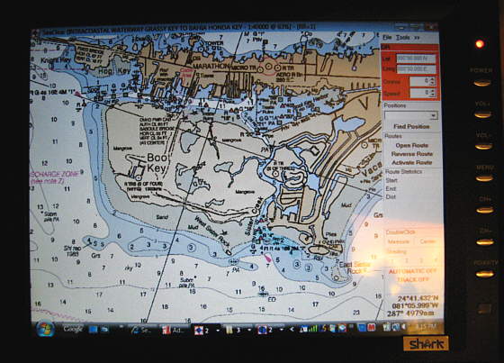
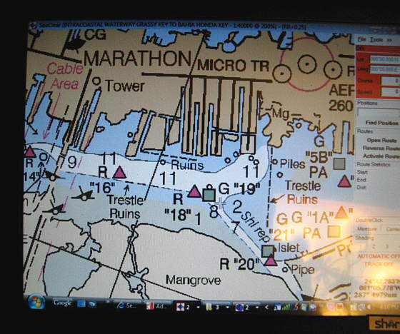
Also is there a particular Chart Plotter you use that works good for what I am seeking?
A website would be golden as well. We will be sailing Mystic Harbor area, New York Harbor, and possibly making our way to Fla., East coastal region eventually. I will be pulling with an R.V., so we may be out for a month or more at a time, depending.
I know I am spoiled, as San Diego ramps were abundant, in great shape.....and free!
Anyway, if a database exists, I'd sure like to find one!
I Have 2 GPS devices currently, but have found nothing to give me this capability. The Iway 600C has been pretty good and has a Chart Database and not much else. I just picked up a Garmin NUVI 2460LMT and doubt I'd get any satisfaction there either, unless someone knows a link that may help perhaps?
A Paper Chart is the good O'l standby, and if someone knows of an East Cost Atlas Style for sale, I'd like one of those as well!
We have only started this process by locating ramps and Kayaking them for accessability etc., so far, but I have upgraded this Mac so much I need to get out!
If someone can reccomend a Smart Phone and application for ramps that would be great as well, as we will be upgrading very soon.
Also is there a particular Chart Plotter you use that works good for what I am seeking?
A website would be golden as well. We will be sailing Mystic Harbor area, New York Harbor, and possibly making our way to Fla., East coastal region eventually. I will be pulling with an R.V., so we may be out for a month or more at a time, depending.
I know I am spoiled, as San Diego ramps were abundant, in great shape.....and free!
Anyway, if a database exists, I'd sure like to find one!
I Have 2 GPS devices currently, but have found nothing to give me this capability. The Iway 600C has been pretty good and has a Chart Database and not much else. I just picked up a Garmin NUVI 2460LMT and doubt I'd get any satisfaction there either, unless someone knows a link that may help perhaps?
A Paper Chart is the good O'l standby, and if someone knows of an East Cost Atlas Style for sale, I'd like one of those as well!