I was searching for marine applications on the iphone app store and came across this product from navionics:
http://www.youtube.com/watch?v=neN_6Tamcv8
http://www.navagear.com/2009/07/navioni ... ngbusters/
http://www.navionics.com/MobileMarineFeatures.asp
I also purchased a $3 wind reports application that shows current wind conditions from selected weather stations (but that's another post)
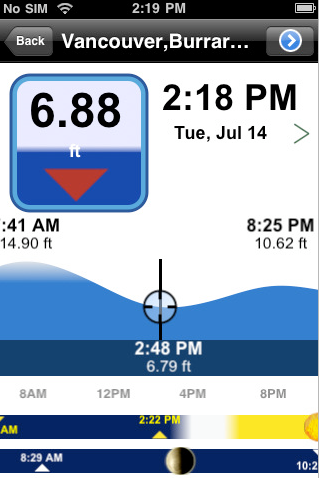
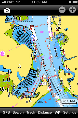
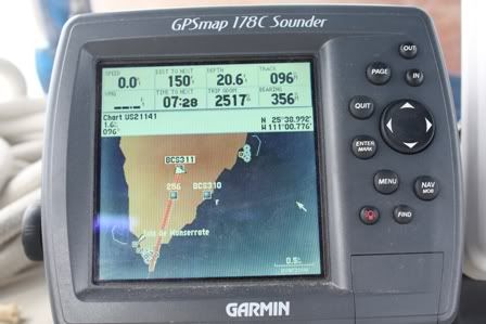
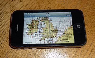
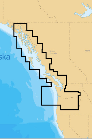
I tried Navionics out on a friend's boat and compared it to his $800 Garmin. I was impressed, to say the least. Best of all, it only costs $9.99. That's right, ten bucks for highly detailed charts for a large region (there are many regions available covering most of the globe), including POIs, tide information, currents, hazards, trip tracking, trip/waypoint planning, photo geo-tagging and many more features I haven't even tried yet. I chose the Marine: British Columbia region, which covers the waters from Oregon up to Alaska.
I just ordered a $10 flexible suction mount for my iphone from eBay and plan to mount it on the steering pedestal and provide power via a usb-12V adapter that I already use in my car for charging.